Trent reach near Jenny Hurn
Introduction
The photograph on this page of Trent reach near Jenny Hurn by Alan Murray-Rust as part of the Geograph project.
The Geograph project started in 2005 with the aim of publishing, organising and preserving representative images for every square kilometre of Great Britain, Ireland and the Isle of Man.

There are currently over 7.5m images from over 14,400 individuals and you can help contribute to the project by visiting https://www.geograph.org.uk
Trent reach near Jenny Hurn
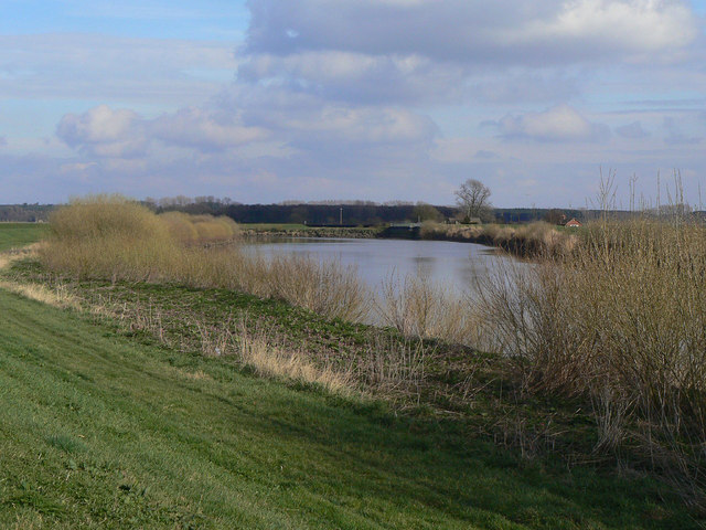
Image: © Alan Murray-Rust Taken: 13 Mar 2011
Seen from the embankment on the west side of the river.
Images are licensed for reuse under creativecommons.org/licenses/by-sa/2.0
Image Location


Leaflet Map data © OpenStreetMap
Latitude
53.478087
Longitude
-0.772548