Jamesville (south section), Cwmcarn
Introduction
The photograph on this page of Jamesville (south section), Cwmcarn by Jaggery as part of the Geograph project.
The Geograph project started in 2005 with the aim of publishing, organising and preserving representative images for every square kilometre of Great Britain, Ireland and the Isle of Man.

There are currently over 7.5m images from over 14,400 individuals and you can help contribute to the project by visiting https://www.geograph.org.uk
Jamesville (south section), Cwmcarn
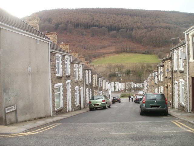
Image: © Jaggery Taken: 7 Feb 2011
Viewed from Newport Road (B4591). The 52 houses in Jamesville are arranged along three parallel rows. This row is the southernmost and contains the houses numbered 34 to 52.
Images are licensed for reuse under creativecommons.org/licenses/by-sa/2.0
Image Location
Latitude
51.63575
Longitude
-3.131335