Kenilworth, waste disposal site
Introduction
The photograph on this page of Kenilworth, waste disposal site by Mike Faherty as part of the Geograph project.
The Geograph project started in 2005 with the aim of publishing, organising and preserving representative images for every square kilometre of Great Britain, Ireland and the Isle of Man.

There are currently over 7.5m images from over 14,400 individuals and you can help contribute to the project by visiting https://www.geograph.org.uk
Kenilworth, waste disposal site
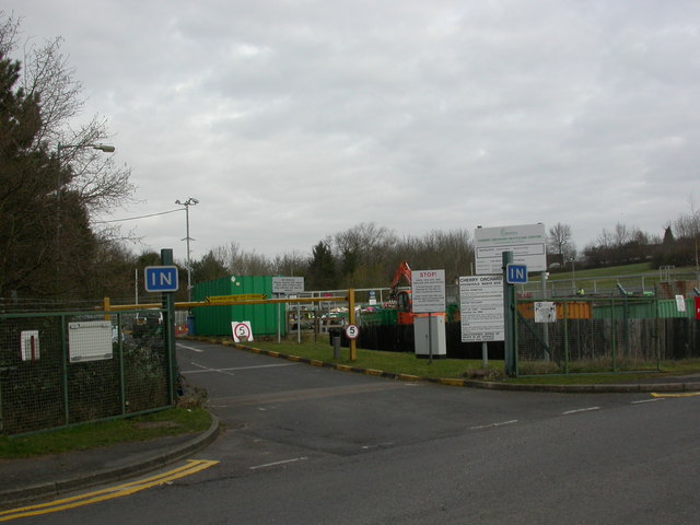
Image: © Mike Faherty Taken: 12 Mar 2011
Cherry Orchard Household Waste Disposal Site, off Piper's Lane. http://www.warwickshire.gov.uk/web/corporate/pages.nsf/Links/C9973D1446B7C12A802573A1005581F0
Images are licensed for reuse under creativecommons.org/licenses/by-sa/2.0
Image Location
Latitude
52.345291
Longitude
-1.569851