Broad path up Hergest Ridge
Introduction
The photograph on this page of Broad path up Hergest Ridge by Jeremy Bolwell as part of the Geograph project.
The Geograph project started in 2005 with the aim of publishing, organising and preserving representative images for every square kilometre of Great Britain, Ireland and the Isle of Man.

There are currently over 7.5m images from over 14,400 individuals and you can help contribute to the project by visiting https://www.geograph.org.uk
Broad path up Hergest Ridge
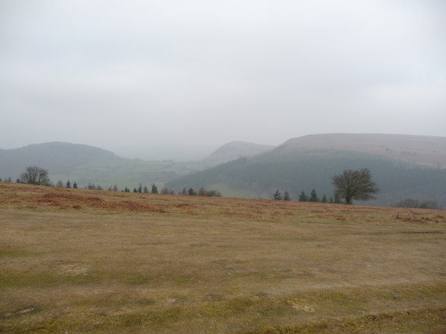
Image: © Jeremy Bolwell Taken: 15 Mar 2011
The broad path has been cropped very short by the sheep flocks that conscienctiously nibble non-stop alongside Offa's Dyke Path.
Images are licensed for reuse under creativecommons.org/licenses/by-sa/2.0
Image Location
Latitude
52.204658
Longitude
-3.059979