Draperstown, Derry / Londonderry
Introduction
The photograph on this page of Draperstown, Derry / Londonderry by Kenneth Allen as part of the Geograph project.
The Geograph project started in 2005 with the aim of publishing, organising and preserving representative images for every square kilometre of Great Britain, Ireland and the Isle of Man.

There are currently over 7.5m images from over 14,400 individuals and you can help contribute to the project by visiting https://www.geograph.org.uk
Draperstown, Derry / Londonderry
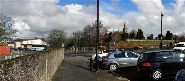
Image: © Kenneth Allen Taken: 14 Mar 2011
Looking north; On the left is the modern Draperstown RC Church Image]on Derrynoyd Road and to the right is the distant spire of St Columba's Church of Ireland Image] which is off Tobermore Road
Images are licensed for reuse under creativecommons.org/licenses/by-sa/2.0
Image Location
Latitude
54.79434
Longitude
-6.784209