St Patrick's Street, Ballynascreen (Draperstown)
Introduction
The photograph on this page of St Patrick's Street, Ballynascreen (Draperstown) by Kenneth Allen as part of the Geograph project.
The Geograph project started in 2005 with the aim of publishing, organising and preserving representative images for every square kilometre of Great Britain, Ireland and the Isle of Man.

There are currently over 7.5m images from over 14,400 individuals and you can help contribute to the project by visiting https://www.geograph.org.uk
St Patrick's Street, Ballynascreen (Draperstown)
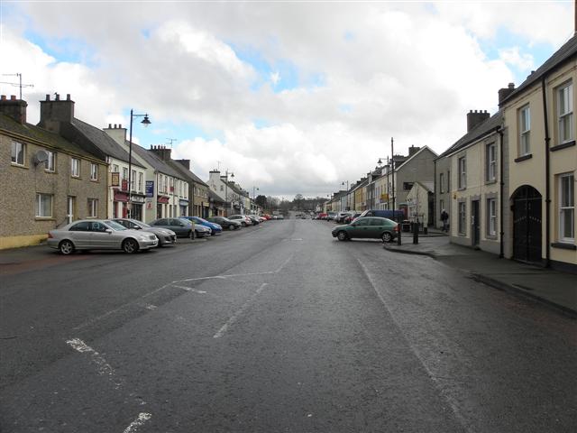
Image: © Kenneth Allen Taken: 14 Mar 2011
Historically Draperstown is a union of two settlements. The Ballynascreen area was divided between the Drapers' and the Skinners' companies (the area west of the crossroads which included Straw, Sixtowns and Moneyneena was part of the Skinner's portion.) In 1812 the Drapers' Company had a resurgent interest in their portion, and built a new planned town in the western reaches of their land, overlooking and adjoining the crossroads. This they referred to as Draperstown, and this was the name subsequently recognized by the Post Office more at http://en.wikipedia.org/wiki/Draperstown
Images are licensed for reuse under creativecommons.org/licenses/by-sa/2.0
Image Location
Latitude
54.792658
Longitude
-6.786747