Dirty Roadsign
Introduction
The photograph on this page of Dirty Roadsign by Bill Nicholls as part of the Geograph project.
The Geograph project started in 2005 with the aim of publishing, organising and preserving representative images for every square kilometre of Great Britain, Ireland and the Isle of Man.

There are currently over 7.5m images from over 14,400 individuals and you can help contribute to the project by visiting https://www.geograph.org.uk
Dirty Roadsign
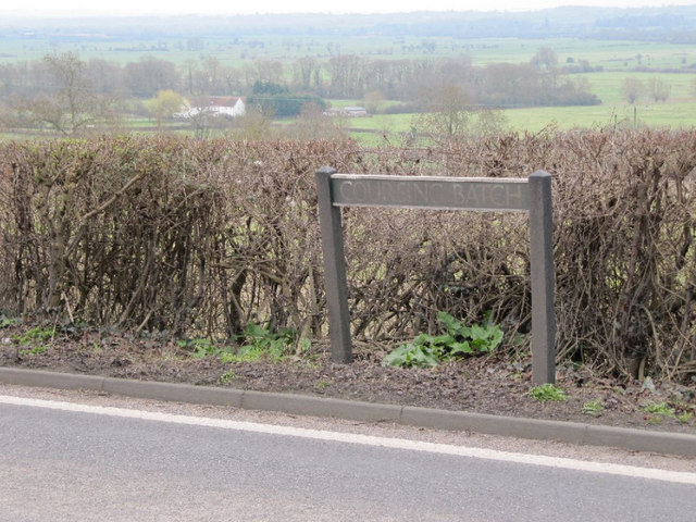
Image: © Bill Nicholls Taken: 5 Mar 2011
The Coursing Batch roadsign becoming unreadable from road dirt caused by the constant traffic which drives past along the A361 in Glastonbury.
Images are licensed for reuse under creativecommons.org/licenses/by-sa/2.0
Image Location
Latitude
51.141246
Longitude
-2.698797