Badminton, Bath Verge
Introduction
The photograph on this page of Badminton, Bath Verge by Mike Faherty as part of the Geograph project.
The Geograph project started in 2005 with the aim of publishing, organising and preserving representative images for every square kilometre of Great Britain, Ireland and the Isle of Man.

There are currently over 7.5m images from over 14,400 individuals and you can help contribute to the project by visiting https://www.geograph.org.uk
Badminton, Bath Verge
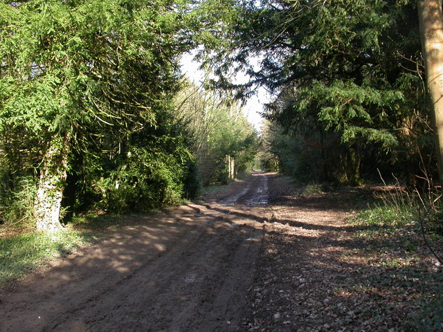
Image: © Mike Faherty Taken: 13 Mar 2011
Former coach road from the Bristol and Bath turnpikes to Badminton House; now forestry road and horse route.
Images are licensed for reuse under creativecommons.org/licenses/by-sa/2.0
Image Location
Latitude
51.541109
Longitude
-2.298284