Flush bracket G3782, Warminster
Introduction
The photograph on this page of Flush bracket G3782, Warminster by Maigheach-gheal as part of the Geograph project.
The Geograph project started in 2005 with the aim of publishing, organising and preserving representative images for every square kilometre of Great Britain, Ireland and the Isle of Man.

There are currently over 7.5m images from over 14,400 individuals and you can help contribute to the project by visiting https://www.geograph.org.uk
Flush bracket G3782, Warminster
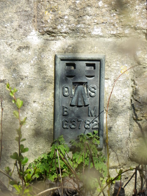
Image: © Maigheach-gheal Taken: 14 Mar 2011
The flush bracket is on the south face of No 95 Boreham Road. For a view of the house Image and for further information on the bracket and others in the area http://www.bench-marks.org.uk/bm12292
Images are licensed for reuse under creativecommons.org/licenses/by-sa/2.0
Image Location
Latitude
51.200315
Longitude
-2.167263