Storm Damage
Introduction
The photograph on this page of Storm Damage by john shepherd as part of the Geograph project.
The Geograph project started in 2005 with the aim of publishing, organising and preserving representative images for every square kilometre of Great Britain, Ireland and the Isle of Man.

There are currently over 7.5m images from over 14,400 individuals and you can help contribute to the project by visiting https://www.geograph.org.uk
Storm Damage
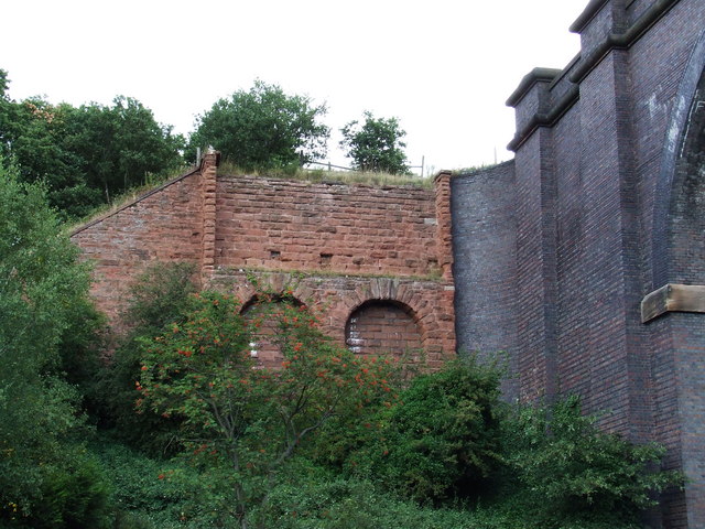
Image: © john shepherd Taken: 28 Aug 2006
All that remains of the old viaduct, (made mostly of wood) that was blown down in a storm. The new viaduct is seen on the right of the picture.
Images are licensed for reuse under creativecommons.org/licenses/by-sa/2.0
Image Location


Leaflet Map data © OpenStreetMap
Latitude
52.368297
Longitude
-2.243759