Milestone near Norton Bavant
Introduction
The photograph on this page of Milestone near Norton Bavant by Maigheach-gheal as part of the Geograph project.
The Geograph project started in 2005 with the aim of publishing, organising and preserving representative images for every square kilometre of Great Britain, Ireland and the Isle of Man.

There are currently over 7.5m images from over 14,400 individuals and you can help contribute to the project by visiting https://www.geograph.org.uk
Milestone near Norton Bavant
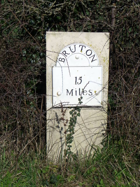
Image: © Maigheach-gheal Taken: 14 Mar 2011
The limestone pillar with its cast iron plate dates from the late 18th century and indicates it is 15 miles to Bruton. The Bruton to Norton Bavant road was turnpiked 1792-3.
Images are licensed for reuse under creativecommons.org/licenses/by-sa/2.0
Image Location
Latitude
51.185079
Longitude
-2.126717