Kimberworth Village
Introduction
The photograph on this page of Kimberworth Village by Keith Edkins as part of the Geograph project.
The Geograph project started in 2005 with the aim of publishing, organising and preserving representative images for every square kilometre of Great Britain, Ireland and the Isle of Man.

There are currently over 7.5m images from over 14,400 individuals and you can help contribute to the project by visiting https://www.geograph.org.uk
Kimberworth Village
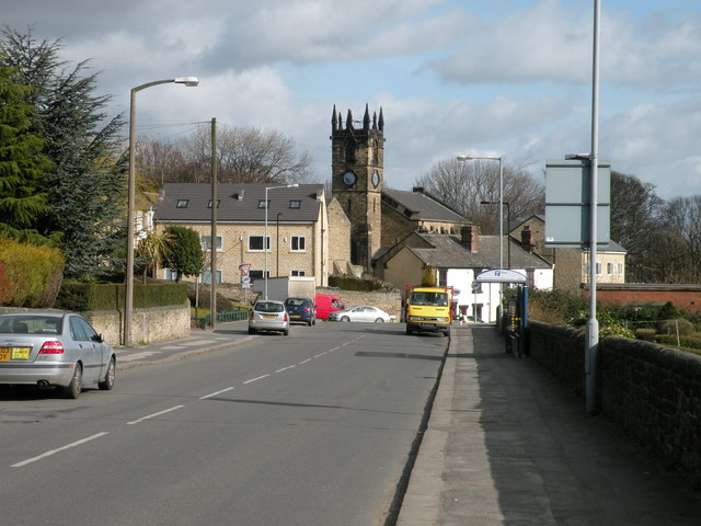
Image: © Keith Edkins Taken: 11 Mar 2011
St Thomas' Church is the focus for this view from Meadowhall Road. The house to the left seems to have been built since 2005, see Image
Images are licensed for reuse under creativecommons.org/licenses/by-sa/2.0
Image Location
Latitude
53.433776
Longitude
-1.394279