House in Piercebridge
Introduction
The photograph on this page of House in Piercebridge by Trevor Littlewood as part of the Geograph project.
The Geograph project started in 2005 with the aim of publishing, organising and preserving representative images for every square kilometre of Great Britain, Ireland and the Isle of Man.

There are currently over 7.5m images from over 14,400 individuals and you can help contribute to the project by visiting https://www.geograph.org.uk
House in Piercebridge
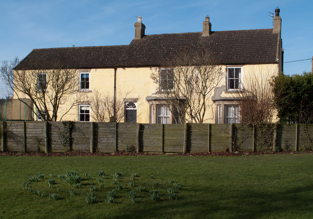
Image: © Trevor Littlewood Taken: 11 Mar 2011
The B6275 passes through Piercebridge dividing the village green in two; this house is on the west side of the green.
Images are licensed for reuse under creativecommons.org/licenses/by-sa/2.0
Image Location
Latitude
54.536412
Longitude
-1.678048