Canvey Island: Sea defence wall
Introduction
The photograph on this page of Canvey Island: Sea defence wall by Nigel Cox as part of the Geograph project.
The Geograph project started in 2005 with the aim of publishing, organising and preserving representative images for every square kilometre of Great Britain, Ireland and the Isle of Man.

There are currently over 7.5m images from over 14,400 individuals and you can help contribute to the project by visiting https://www.geograph.org.uk
Canvey Island: Sea defence wall
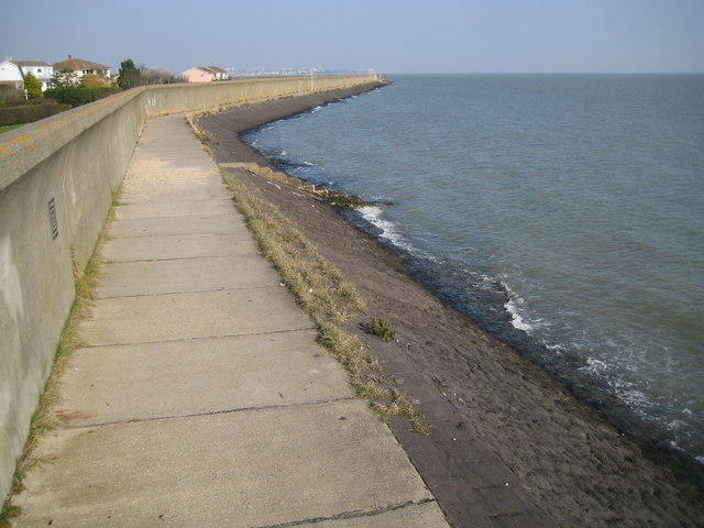
Image: © Nigel Cox Taken: 8 Mar 2011
This is the view in the opposite direction to Image Aerial satellite imagery taken at low tide shows that the steps in the distance leading down into the water, now at high tide, actually lead to a small sandy beach that is only exposed at low tide.
Images are licensed for reuse under creativecommons.org/licenses/by-sa/2.0
Image Location
Latitude
51.515814
Longitude
0.620632