Public right of way ST AN 2/2 at junction with Back Lane
Introduction
The photograph on this page of Public right of way ST AN 2/2 at junction with Back Lane by Stuart Logan as part of the Geograph project.
The Geograph project started in 2005 with the aim of publishing, organising and preserving representative images for every square kilometre of Great Britain, Ireland and the Isle of Man.

There are currently over 7.5m images from over 14,400 individuals and you can help contribute to the project by visiting https://www.geograph.org.uk
Public right of way ST AN 2/2 at junction with Back Lane
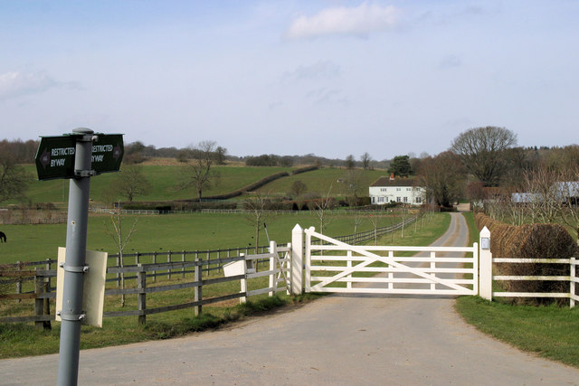
Image: © Stuart Logan Taken: 12 Mar 2011
ST AN 2/2 is a restricted byway which also forms the driveway to Pangfield Farm. The farm can be seen in the picture.
Images are licensed for reuse under creativecommons.org/licenses/by-sa/2.0
Image Location
Latitude
51.440481
Longitude
-1.18648