Seabank Road
Introduction
The photograph on this page of Seabank Road by Anne Burgess as part of the Geograph project.
The Geograph project started in 2005 with the aim of publishing, organising and preserving representative images for every square kilometre of Great Britain, Ireland and the Isle of Man.

There are currently over 7.5m images from over 14,400 individuals and you can help contribute to the project by visiting https://www.geograph.org.uk
Seabank Road
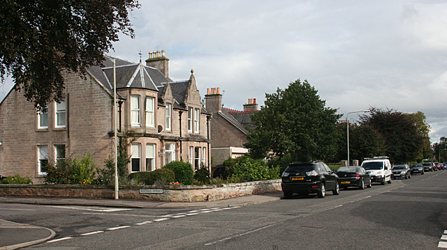
Image: © Anne Burgess Taken: 22 Sep 2010
Seabank Road is lined with Victorian stone villas. Several of them are now guest houses or residential care homes. The nearest one in this view is Bruach House Care Home.
Images are licensed for reuse under creativecommons.org/licenses/by-sa/2.0
Image Location
Latitude
57.585596
Longitude
-3.880639