Viyella, High Street
Introduction
The photograph on this page of Viyella, High Street by Oast House Archive as part of the Geograph project.
The Geograph project started in 2005 with the aim of publishing, organising and preserving representative images for every square kilometre of Great Britain, Ireland and the Isle of Man.

There are currently over 7.5m images from over 14,400 individuals and you can help contribute to the project by visiting https://www.geograph.org.uk
Viyella, High Street
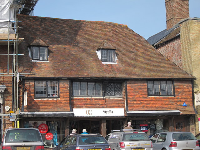
Image: © Oast House Archive Taken: 12 Mar 2011
Grade II listed C15/16 house, later Grammar school, and now a shop. The first floor has jettied bays much like a Wealden hall house.
Images are licensed for reuse under creativecommons.org/licenses/by-sa/2.0
Image Location


Leaflet Map data © OpenStreetMap
Latitude
51.068724
Longitude
0.68822