Coventry-Hill Street
Introduction
The photograph on this page of Coventry-Hill Street by Ian Rob as part of the Geograph project.
The Geograph project started in 2005 with the aim of publishing, organising and preserving representative images for every square kilometre of Great Britain, Ireland and the Isle of Man.

There are currently over 7.5m images from over 14,400 individuals and you can help contribute to the project by visiting https://www.geograph.org.uk
Coventry-Hill Street
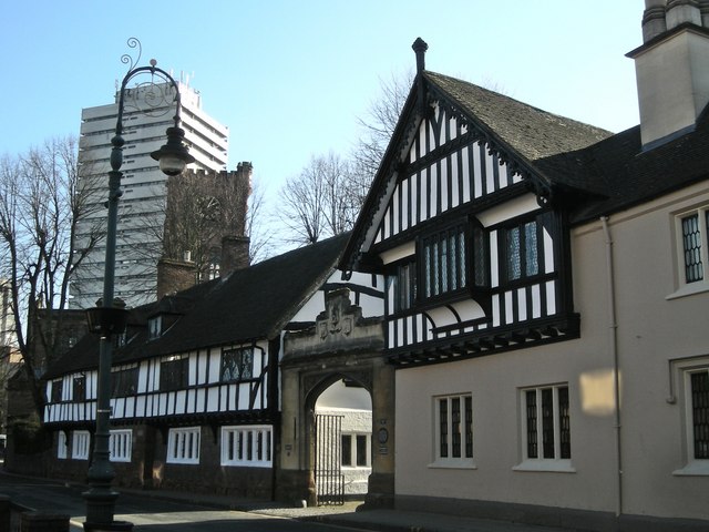
Image: © Ian Rob Taken: 7 Mar 2011
Old Bablake and Bond's Hospital, with Saint John the Baptist Church tower behind and a 1960s tower behind that. Image
Images are licensed for reuse under creativecommons.org/licenses/by-sa/2.0
Image Location


Leaflet Map data © OpenStreetMap
Latitude
52.408915
Longitude
-1.516311