Stone Archway
Introduction
The photograph on this page of Stone Archway by John MacKenzie as part of the Geograph project.
The Geograph project started in 2005 with the aim of publishing, organising and preserving representative images for every square kilometre of Great Britain, Ireland and the Isle of Man.

There are currently over 7.5m images from over 14,400 individuals and you can help contribute to the project by visiting https://www.geograph.org.uk
Stone Archway
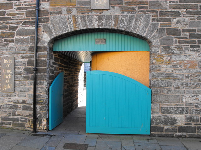
Image: © John MacKenzie Taken: 11 Mar 2011
This is a typical Pulteneytown archway in a now renovated Telford building. It once gave access to an enclosed yard used, I believe, for barrel storage in connection with the fishing industry.
Images are licensed for reuse under creativecommons.org/licenses/by-sa/2.0
Image Location
Latitude
58.440329
Longitude
-3.089369