The King's Head, Spratton
Introduction
The photograph on this page of The King's Head, Spratton by Kokai as part of the Geograph project.
The Geograph project started in 2005 with the aim of publishing, organising and preserving representative images for every square kilometre of Great Britain, Ireland and the Isle of Man.

There are currently over 7.5m images from over 14,400 individuals and you can help contribute to the project by visiting https://www.geograph.org.uk
The King's Head, Spratton
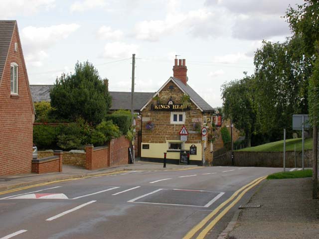
Image: © Kokai Taken: 30 Aug 2006
View east along the Brixworth Road. The Pub is opposite the Church which is at the top of the grassy bank seen to the right of the P.H.
Images are licensed for reuse under creativecommons.org/licenses/by-sa/2.0
Image Location
Latitude
52.324323
Longitude
-0.949399