Track in Clopton Park
Introduction
The photograph on this page of Track in Clopton Park by Philip Halling as part of the Geograph project.
The Geograph project started in 2005 with the aim of publishing, organising and preserving representative images for every square kilometre of Great Britain, Ireland and the Isle of Man.

There are currently over 7.5m images from over 14,400 individuals and you can help contribute to the project by visiting https://www.geograph.org.uk
Track in Clopton Park
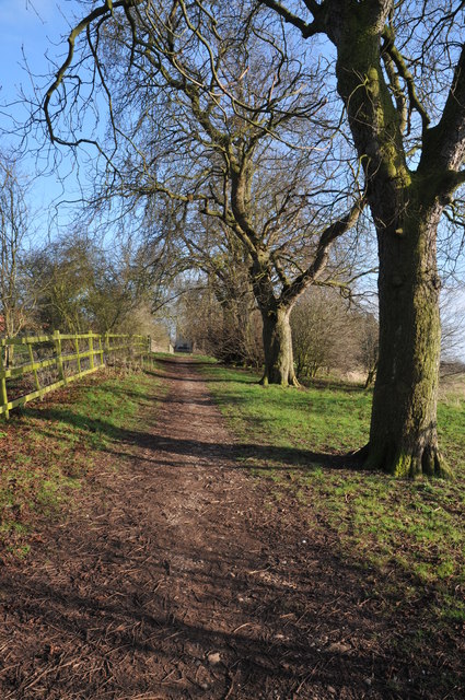
Image: © Philip Halling Taken: 6 Mar 2011
This track used to provide access to Clopton Tower and some farm buildings which have been converted in residential housing. Beyond the gate the track has become impassable.
Images are licensed for reuse under creativecommons.org/licenses/by-sa/2.0
Image Location
Latitude
52.206805
Longitude
-1.704941