Arable Land, Cults Hill
Introduction
The photograph on this page of Arable Land, Cults Hill by edward mcmaihin as part of the Geograph project.
The Geograph project started in 2005 with the aim of publishing, organising and preserving representative images for every square kilometre of Great Britain, Ireland and the Isle of Man.

There are currently over 7.5m images from over 14,400 individuals and you can help contribute to the project by visiting https://www.geograph.org.uk
Arable Land, Cults Hill
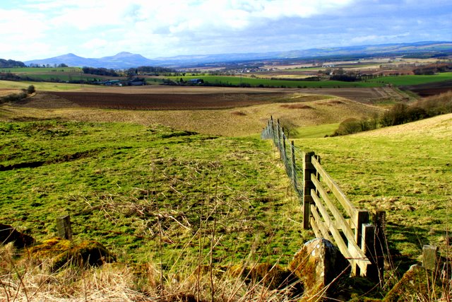
Image: © edward mcmaihin Taken: 27 Feb 2011
Farm land at Cults Hill looking west with the Lomond Hills in the distance.
Images are licensed for reuse under creativecommons.org/licenses/by-sa/2.0
Image Location
Latitude
56.265481
Longitude
-3.065039