North Downs Way towards London Road
Introduction
The photograph on this page of North Downs Way towards London Road by David Anstiss as part of the Geograph project.
The Geograph project started in 2005 with the aim of publishing, organising and preserving representative images for every square kilometre of Great Britain, Ireland and the Isle of Man.

There are currently over 7.5m images from over 14,400 individuals and you can help contribute to the project by visiting https://www.geograph.org.uk
North Downs Way towards London Road
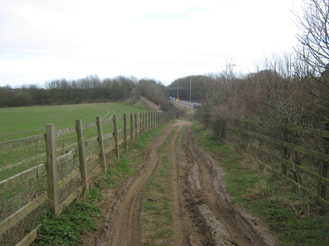
Image: © David Anstiss Taken: 6 Mar 2011
The long distance path leads along a byway from Pineham towards the road, then over the road bridge (over the A2); the bridge is seen in the background. The route then heads towards another byway to Whiting Poultry Farm and Dover.
Images are licensed for reuse under creativecommons.org/licenses/by-sa/2.0
Image Location
Latitude
51.152041
Longitude
1.317189