Crabble Court
Introduction
The photograph on this page of Crabble Court by David Anstiss as part of the Geograph project.
The Geograph project started in 2005 with the aim of publishing, organising and preserving representative images for every square kilometre of Great Britain, Ireland and the Isle of Man.

There are currently over 7.5m images from over 14,400 individuals and you can help contribute to the project by visiting https://www.geograph.org.uk
Crabble Court
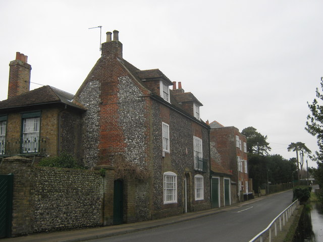
Image: © David Anstiss Taken: 6 Mar 2011
A Grade II Listed building is seen from Lower Road. Opposite the River Dour. This flint-faced building is attached to the red brick building of The Old Vicarage (via two garages). See http://www.britishlistedbuildings.co.uk/en-177803-crabble-court-dover for more details.
Images are licensed for reuse under creativecommons.org/licenses/by-sa/2.0
Image Location
Latitude
51.141123
Longitude
1.283374