West Norwood station
Introduction
The photograph on this page of West Norwood station by Marathon as part of the Geograph project.
The Geograph project started in 2005 with the aim of publishing, organising and preserving representative images for every square kilometre of Great Britain, Ireland and the Isle of Man.

There are currently over 7.5m images from over 14,400 individuals and you can help contribute to the project by visiting https://www.geograph.org.uk
West Norwood station
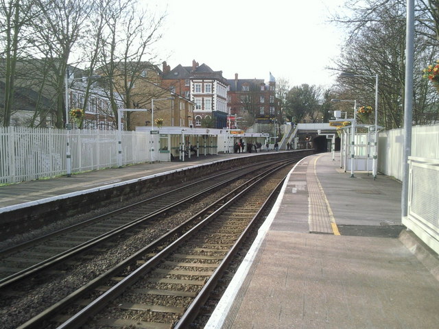
Image: © Marathon Taken: 24 Feb 2011
West Norwood station was opened in 1856 as Lower Norwood station. It was renamed 'West' in 1886 following agitation from residents who objected to being called "Lower".
Images are licensed for reuse under creativecommons.org/licenses/by-sa/2.0
Image Location
Latitude
51.431469
Longitude
-0.10341