King's Crescent and beyond
Introduction
The photograph on this page of King's Crescent and beyond by M J Richardson as part of the Geograph project.
The Geograph project started in 2005 with the aim of publishing, organising and preserving representative images for every square kilometre of Great Britain, Ireland and the Isle of Man.

There are currently over 7.5m images from over 14,400 individuals and you can help contribute to the project by visiting https://www.geograph.org.uk
King's Crescent and beyond
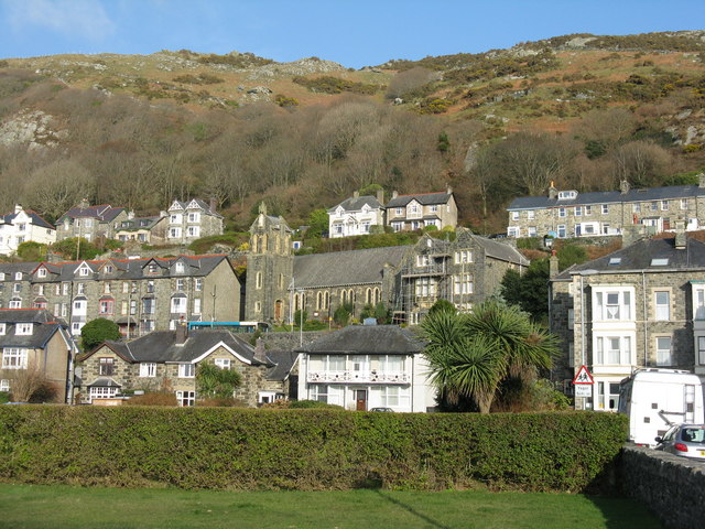
Image: © M J Richardson Taken: 4 Mar 2011
Looking north-east from the bowling green on Park Road towards the church on the crescent and the hill beyond.
Images are licensed for reuse under creativecommons.org/licenses/by-sa/2.0
Image Location
Latitude
52.72503
Longitude
-4.057585