This was a footpath
Introduction
The photograph on this page of This was a footpath by Bill Nicholls as part of the Geograph project.
The Geograph project started in 2005 with the aim of publishing, organising and preserving representative images for every square kilometre of Great Britain, Ireland and the Isle of Man.

There are currently over 7.5m images from over 14,400 individuals and you can help contribute to the project by visiting https://www.geograph.org.uk
This was a footpath
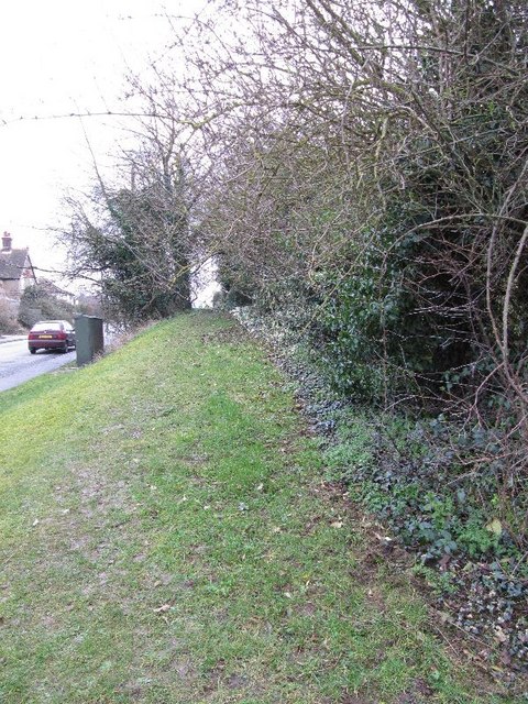
Image: © Bill Nicholls Taken: 20 Feb 2011
This used to be a footpath leading past the houses but it has fallen into disuse and the grass has grown over the concrete losing it from view.
Images are licensed for reuse under creativecommons.org/licenses/by-sa/2.0
Image Location


Leaflet Map data © OpenStreetMap
Latitude
51.569624
Longitude
-1.15157