Hampton Lucy Bridge
Introduction
The photograph on this page of Hampton Lucy Bridge by Alan Murray-Rust as part of the Geograph project.
The Geograph project started in 2005 with the aim of publishing, organising and preserving representative images for every square kilometre of Great Britain, Ireland and the Isle of Man.

There are currently over 7.5m images from over 14,400 individuals and you can help contribute to the project by visiting https://www.geograph.org.uk
Hampton Lucy Bridge
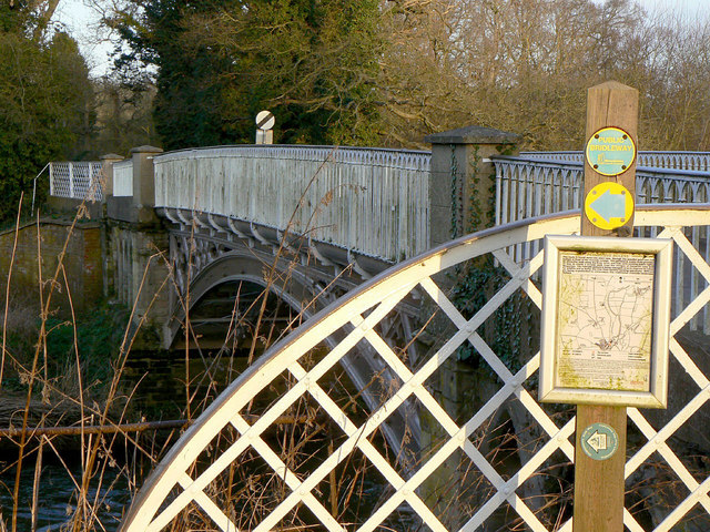
Image: © Alan Murray-Rust Taken: 6 Mar 2011
Detail of the protective fencing at the western end. The notice details the permissive footpath along the west bank of the River Avon as part of the Shakespeare's Avon Way.
Images are licensed for reuse under creativecommons.org/licenses/by-sa/2.0
Image Location
Latitude
52.212062
Longitude
-1.624704