Surviving farmland, Drumgrew
Introduction
The photograph on this page of Surviving farmland, Drumgrew by Richard Webb as part of the Geograph project.
The Geograph project started in 2005 with the aim of publishing, organising and preserving representative images for every square kilometre of Great Britain, Ireland and the Isle of Man.

There are currently over 7.5m images from over 14,400 individuals and you can help contribute to the project by visiting https://www.geograph.org.uk
Surviving farmland, Drumgrew
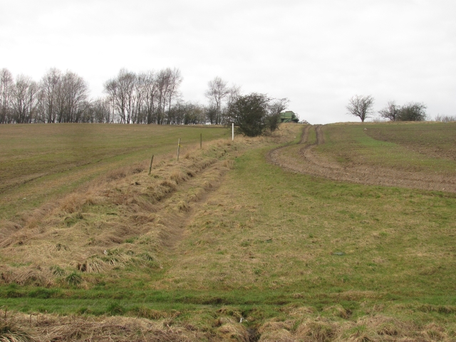
Image: © Richard Webb Taken: 4 Mar 2011
Much of the land near here has been developed but the north side of the B8048 is still agricultural. In this view from near Hunt Hill Roundabout on the B8048 contains a decaying combine. Image
Images are licensed for reuse under creativecommons.org/licenses/by-sa/2.0
Image Location
Latitude
55.945161
Longitude
-4.062969