Steep footpath, Dorking
Introduction
The photograph on this page of Steep footpath, Dorking by Robin Webster as part of the Geograph project.
The Geograph project started in 2005 with the aim of publishing, organising and preserving representative images for every square kilometre of Great Britain, Ireland and the Isle of Man.

There are currently over 7.5m images from over 14,400 individuals and you can help contribute to the project by visiting https://www.geograph.org.uk
Steep footpath, Dorking
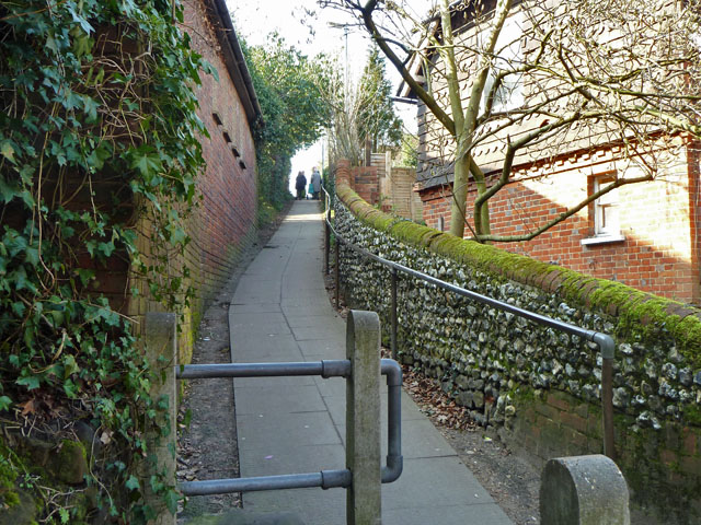
Image: © Robin Webster Taken: 8 Mar 2011
A busy path, despite its steepness, linking Nower Road and residential areas beyond to Vincent Lane. It is also used by the Greensand Way.
Images are licensed for reuse under creativecommons.org/licenses/by-sa/2.0
Image Location
Latitude
51.227016
Longitude
-0.33683