Church Street, Croydon
Introduction
The photograph on this page of Church Street, Croydon by Peter Trimming as part of the Geograph project.
The Geograph project started in 2005 with the aim of publishing, organising and preserving representative images for every square kilometre of Great Britain, Ireland and the Isle of Man.

There are currently over 7.5m images from over 14,400 individuals and you can help contribute to the project by visiting https://www.geograph.org.uk
Church Street, Croydon
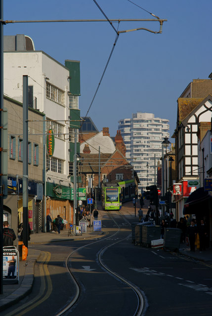
Image: © Peter Trimming Taken: 8 Mar 2011
Looking up Church Street, towards Crown Hill, and central Croydon. The tram is descending Crown Hill; having just passed the Whitgift Almshouses, which date back some 400+ years.
Images are licensed for reuse under creativecommons.org/licenses/by-sa/2.0
Image Location
Latitude
51.3738
Longitude
-0.101771