Low Longside House on the NE side of Nidderdale
Introduction
The photograph on this page of Low Longside House on the NE side of Nidderdale by Stuart Logan as part of the Geograph project.
The Geograph project started in 2005 with the aim of publishing, organising and preserving representative images for every square kilometre of Great Britain, Ireland and the Isle of Man.

There are currently over 7.5m images from over 14,400 individuals and you can help contribute to the project by visiting https://www.geograph.org.uk
Low Longside House on the NE side of Nidderdale
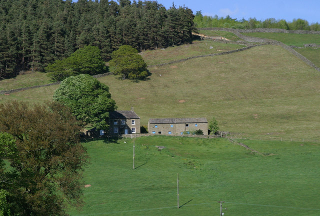
Image: © Stuart Logan Taken: 28 May 2010
Just above Ramsgill the steep sided valley of the River Nidd is illuminated by the late afternoon sun.
Images are licensed for reuse under creativecommons.org/licenses/by-sa/2.0
Image Location
Latitude
54.141988
Longitude
-1.818726