Caravans and mobile homes west of Pateley Bridge.
Introduction
The photograph on this page of Caravans and mobile homes west of Pateley Bridge. by Stuart Logan as part of the Geograph project.
The Geograph project started in 2005 with the aim of publishing, organising and preserving representative images for every square kilometre of Great Britain, Ireland and the Isle of Man.

There are currently over 7.5m images from over 14,400 individuals and you can help contribute to the project by visiting https://www.geograph.org.uk
Caravans and mobile homes west of Pateley Bridge.
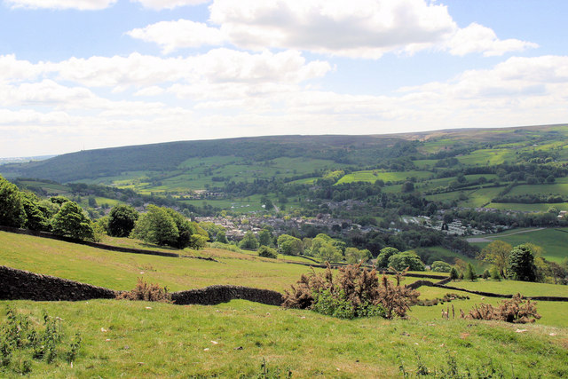
Image: © Stuart Logan Taken: 28 May 2010
Even though they occupy a smaller area the mobile structures cause a bigger visual impact, from high on Wath Lane, than the town proper.
Images are licensed for reuse under creativecommons.org/licenses/by-sa/2.0
Image Location
Latitude
54.087523
Longitude
-1.765916