Chapel Gate
Introduction
The photograph on this page of Chapel Gate by Bryan Tenny as part of the Geograph project.
The Geograph project started in 2005 with the aim of publishing, organising and preserving representative images for every square kilometre of Great Britain, Ireland and the Isle of Man.

There are currently over 7.5m images from over 14,400 individuals and you can help contribute to the project by visiting https://www.geograph.org.uk
Chapel Gate
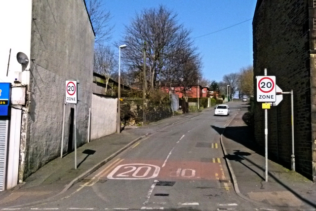
Image: © Bryan Tenny Taken: 7 Mar 2011
Chapel Gate formerly known as Church Street links Dale Street with St James Street.
Images are licensed for reuse under creativecommons.org/licenses/by-sa/2.0
Image Location


Leaflet Map data © OpenStreetMap
Latitude
53.611253
Longitude
-2.109393