Hollowell
Introduction
The photograph on this page of Hollowell by Ian Rob as part of the Geograph project.
The Geograph project started in 2005 with the aim of publishing, organising and preserving representative images for every square kilometre of Great Britain, Ireland and the Isle of Man.

There are currently over 7.5m images from over 14,400 individuals and you can help contribute to the project by visiting https://www.geograph.org.uk
Hollowell
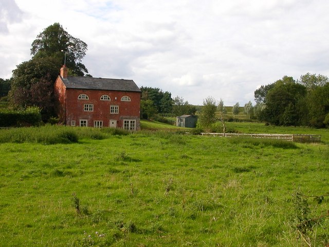
Image: © Ian Rob Taken: 30 Aug 2006
Looking from just off Creaton Road, the southern dam of Hollowell Reservoir can be seen to the right of the house.
Images are licensed for reuse under creativecommons.org/licenses/by-sa/2.0
Image Location
Latitude
52.341735
Longitude
-0.987151