Railway arches, Leicester
Introduction
The photograph on this page of Railway arches, Leicester by Malc McDonald as part of the Geograph project.
The Geograph project started in 2005 with the aim of publishing, organising and preserving representative images for every square kilometre of Great Britain, Ireland and the Isle of Man.

There are currently over 7.5m images from over 14,400 individuals and you can help contribute to the project by visiting https://www.geograph.org.uk
Railway arches, Leicester
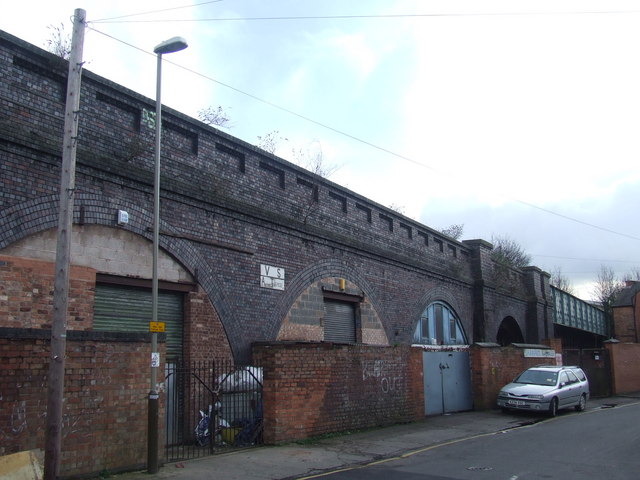
Image: © Malc McDonald Taken: 26 Feb 2011
The Great Central Railway was the last main line railway built in the Victorian era. It ran south from Sheffield and Manchester through Nottingham and Leicester, to a London terminus at Marylebone. It passed through Leicester to the west of the city centre. The route through the Braunstone Gate area was on a viaduct, parts of which survive such as here alongside Bede Street. The bridge in the background carried the railway across the River Soar.
Images are licensed for reuse under creativecommons.org/licenses/by-sa/2.0
Image Location
Latitude
52.631115
Longitude
-1.144637