Ifield: Footpath crossing of the River Mole
Introduction
The photograph on this page of Ifield: Footpath crossing of the River Mole by Nigel Cox as part of the Geograph project.
The Geograph project started in 2005 with the aim of publishing, organising and preserving representative images for every square kilometre of Great Britain, Ireland and the Isle of Man.

There are currently over 7.5m images from over 14,400 individuals and you can help contribute to the project by visiting https://www.geograph.org.uk
Ifield: Footpath crossing of the River Mole
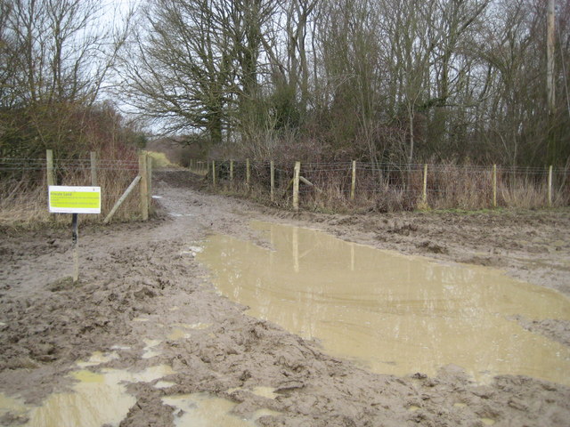
Image: © Nigel Cox Taken: 24 Jan 2010
This is a fabulously plodgy crossing of the River Mole via one of the public footpaths from Ifield to Ifieldwood. The crossing point is actually in the middle of the gap. The sign advises members of the public to stay on the public footpath as the field on either side is private land.
Images are licensed for reuse under creativecommons.org/licenses/by-sa/2.0
Image Location


Leaflet Map data © OpenStreetMap
Latitude
51.128199
Longitude
-0.221619