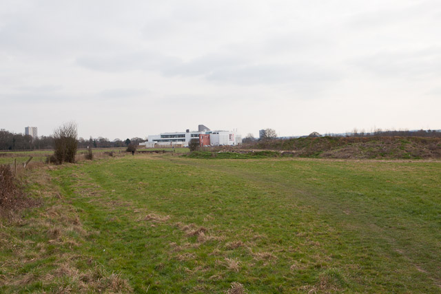
Field in Adanac Park
Introduction
The photograph on this page of Field in Adanac Park by Peter Facey as part of the Geograph project.
The Geograph project started in 2005 with the aim of publishing, organising and preserving representative images for every square kilometre of Great Britain, Ireland and the Isle of Man.
There are currently over 7.5m images from over 14,400 individuals and you can help contribute to the project by visiting https://www.geograph.org.uk

Image: © Peter Facey Taken: 5 Mar 2011
Adanac Park is a business park part of which had not been built at time of photographing. The path here is used by local people but does not appear to be a public right of way. Beyond is the new Ordnance Survey HQ, which was the only completed plot. For a view of that, taken from atop the spoil heap seen at right, see http://www.geograph.org.uk/photo/2295221 .

