High Meadows, Abercarn
Introduction
The photograph on this page of High Meadows, Abercarn by Jaggery as part of the Geograph project.
The Geograph project started in 2005 with the aim of publishing, organising and preserving representative images for every square kilometre of Great Britain, Ireland and the Isle of Man.

There are currently over 7.5m images from over 14,400 individuals and you can help contribute to the project by visiting https://www.geograph.org.uk
High Meadows, Abercarn
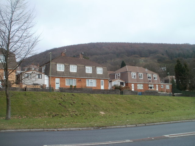
Image: © Jaggery Taken: 23 Jan 2011
High Meadows, on the east side of the A467, contains about 100 houses. Those seen here, viewed across the A467, are low-numbered houses. Highest-numbered are furthest from the A467, out of shot.
Images are licensed for reuse under creativecommons.org/licenses/by-sa/2.0
Image Location
Latitude
51.655513
Longitude
-3.133273