Sunnymead Conservation Area
Introduction
The photograph on this page of Sunnymead Conservation Area by Paul Gillett as part of the Geograph project.
The Geograph project started in 2005 with the aim of publishing, organising and preserving representative images for every square kilometre of Great Britain, Ireland and the Isle of Man.

There are currently over 7.5m images from over 14,400 individuals and you can help contribute to the project by visiting https://www.geograph.org.uk
Sunnymead Conservation Area
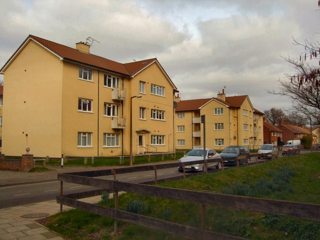
Image: © Paul Gillett Taken: 5 Mar 2011
The Crawley Development Corporation designed Sunnymead Flats in the 1950s. They were originally built for the workers involved in the construction of the New Town. Sunnymead Flats represent an example of early New Town housing and are considered to be of architectural significance. They were designated as a Conservation Area in 1997 http://www.crawley.gov.uk/stellent/idcplg?IdcService=SS_GET_PAGE&ssDocName=INT010073
Images are licensed for reuse under creativecommons.org/licenses/by-sa/2.0
Image Location
Latitude
51.116529
Longitude
-0.192476