Approaching Hoole Lane Lock
Introduction
The photograph on this page of Approaching Hoole Lane Lock by John S Turner as part of the Geograph project.
The Geograph project started in 2005 with the aim of publishing, organising and preserving representative images for every square kilometre of Great Britain, Ireland and the Isle of Man.

There are currently over 7.5m images from over 14,400 individuals and you can help contribute to the project by visiting https://www.geograph.org.uk
Approaching Hoole Lane Lock
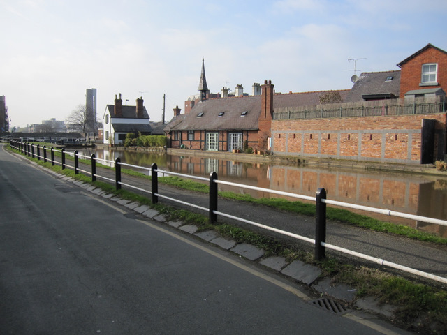
Image: © John S Turner Taken: 4 Mar 2011
Looking across the Shropshire Union Canal just east of Hoole Lock. The long long building in the centre is the Mission Hall, which was restored by Maxwell Price Walls 1997-2001.
Images are licensed for reuse under creativecommons.org/licenses/by-sa/2.0
Image Location
Latitude
53.193819
Longitude
-2.873173