The Bromborough
Introduction
The photograph on this page of The Bromborough by David Dixon as part of the Geograph project.
The Geograph project started in 2005 with the aim of publishing, organising and preserving representative images for every square kilometre of Great Britain, Ireland and the Isle of Man.

There are currently over 7.5m images from over 14,400 individuals and you can help contribute to the project by visiting https://www.geograph.org.uk
The Bromborough
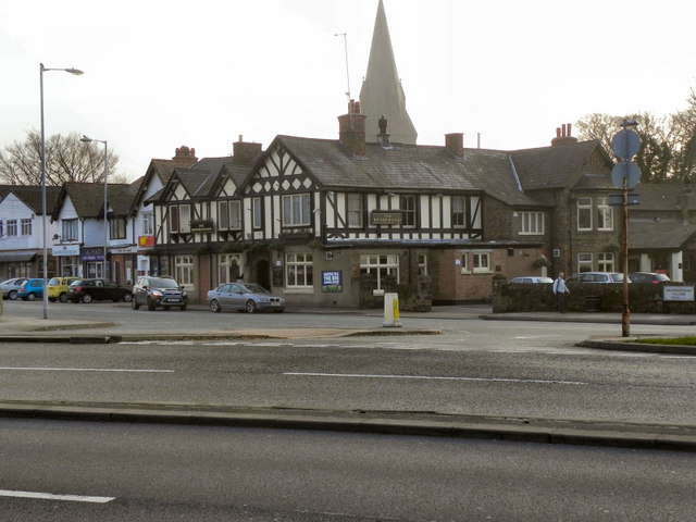
Image: © David Dixon Taken: 3 Mar 2011
Looking across New Chester Road (A41) to the Bromborough public house, on Bromborough Village Road. The spire of Image] can be seen in the background.
Images are licensed for reuse under creativecommons.org/licenses/by-sa/2.0
Image Location
Latitude
53.333868
Longitude
-2.977547