North Downs Way and East Cliff and Warren Country Park
Introduction
The photograph on this page of North Downs Way and East Cliff and Warren Country Park by David Anstiss as part of the Geograph project.
The Geograph project started in 2005 with the aim of publishing, organising and preserving representative images for every square kilometre of Great Britain, Ireland and the Isle of Man.

There are currently over 7.5m images from over 14,400 individuals and you can help contribute to the project by visiting https://www.geograph.org.uk
North Downs Way and East Cliff and Warren Country Park
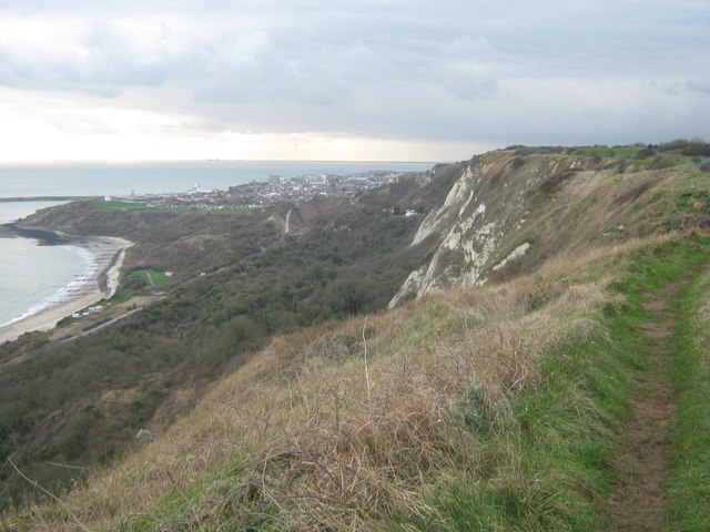
Image: © David Anstiss Taken: 27 Feb 2011
The long distance path leads along a cliff top path towards Folkestone from Capel-le-Ferne. It passes by the East Cliff of Folkestone. The woodland on the left is part of the East Cliff and Warren Country Park.
Images are licensed for reuse under creativecommons.org/licenses/by-sa/2.0
Image Location
Latitude
51.100039
Longitude
1.2146