The Kings Arms, South Zeal
Introduction
The photograph on this page of The Kings Arms, South Zeal by Maigheach-gheal as part of the Geograph project.
The Geograph project started in 2005 with the aim of publishing, organising and preserving representative images for every square kilometre of Great Britain, Ireland and the Isle of Man.

There are currently over 7.5m images from over 14,400 individuals and you can help contribute to the project by visiting https://www.geograph.org.uk
The Kings Arms, South Zeal
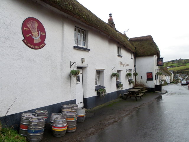
Image: © Maigheach-gheal Taken: 15 Feb 2011
The pub has its origins in the late 16th century when it was a house. It is built of a mixture materials including cob.
Images are licensed for reuse under creativecommons.org/licenses/by-sa/2.0
Image Location
Latitude
50.72673
Longitude
-3.914784