Marsh Lane, Christchurch
Introduction
The photograph on this page of Marsh Lane, Christchurch by mike smith as part of the Geograph project.
The Geograph project started in 2005 with the aim of publishing, organising and preserving representative images for every square kilometre of Great Britain, Ireland and the Isle of Man.

There are currently over 7.5m images from over 14,400 individuals and you can help contribute to the project by visiting https://www.geograph.org.uk
Marsh Lane, Christchurch
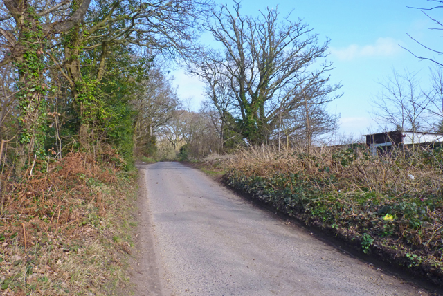
Image: © mike smith Taken: 3 Mar 2011
This rural looking lane is just off the busy B3073 Fairmile Road. It leads to Dudmoor Golf Course and Equestrian Centre.
Images are licensed for reuse under creativecommons.org/licenses/by-sa/2.0
Image Location
Latitude
50.750999
Longitude
-1.793843