Development at Coopers Edge
Introduction
The photograph on this page of Development at Coopers Edge by Philip Halling as part of the Geograph project.
The Geograph project started in 2005 with the aim of publishing, organising and preserving representative images for every square kilometre of Great Britain, Ireland and the Isle of Man.

There are currently over 7.5m images from over 14,400 individuals and you can help contribute to the project by visiting https://www.geograph.org.uk
Development at Coopers Edge
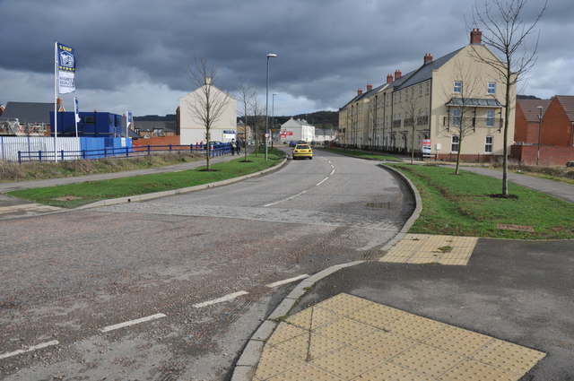
Image: © Philip Halling Taken: 26 Feb 2011
The former Brockworth Airfield is undergoing redevelopment with business and retail premises along with residential housing.
Images are licensed for reuse under creativecommons.org/licenses/by-sa/2.0
Image Location
Latitude
51.84273
Longitude
-2.18241