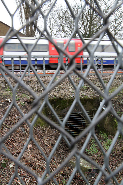
The Railway Stream
Introduction
The photograph on this page of The Railway Stream by Martin Addison as part of the Geograph project.
The Geograph project started in 2005 with the aim of publishing, organising and preserving representative images for every square kilometre of Great Britain, Ireland and the Isle of Man.
There are currently over 7.5m images from over 14,400 individuals and you can help contribute to the project by visiting https://www.geograph.org.uk

Image: © Martin Addison Taken: 25 Feb 2011
The title comes from a description of this tiny water course on the Middlesex County Council website - http://www.middlesexcountycouncil.org.uk/ - where this tributary of the Silk Stream is mentioned. Looking at the aerial views on Bing maps and past maps of the area on Old-Maps - http://www.old-maps.co.uk/index.html ,I have concluded that this was once a drainage ditch around a field and subsequently a sports ground that has been built upon in recent years. It continues to drain the area along the back gardens of Littlefield Road. It's not obvious in the photo because of the fencing to keep trespassers off the railway line, but there was a steady flow of water exiting the pipe. The passing train is Northern Line 1995 stock.

