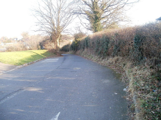
St Dials Road, Cwmbran
Introduction
The photograph on this page of St Dials Road, Cwmbran by Jaggery as part of the Geograph project.
The Geograph project started in 2005 with the aim of publishing, organising and preserving representative images for every square kilometre of Great Britain, Ireland and the Isle of Man.
There are currently over 7.5m images from over 14,400 individuals and you can help contribute to the project by visiting https://www.geograph.org.uk

Image: © Jaggery Taken: 30 Jan 2011
Though in the middle of Cwmbran, a town of about 50,000 inhabitants, St Dials Road looks much as it would have done in the first half of the 20th century. At that time it connected the village of St Dials with the village of Cwmbran. Following the rapid growth of Cwmbran after it was designated a New Town in 1949, St Dials is now a district of Cwmbran, and Cwmbran village is now known as Old Cwmbran. Viewed from near the roundabout at the meeting of Ty Gwyn Way, Greenforge Way, Greenmeadow Way and St Dials Road. The street name sign shows St Dials Road leading to Uplands Terrace http://www.geograph.org.uk/photo/2290627 and Hodges Terrace. http://www.geograph.org.uk/photo/2290976 A few metres ahead, the road narrows to single-track. http://www.geograph.org.uk/photo/2290579

