B1004 between Widford and Wareside
Introduction
The photograph on this page of B1004 between Widford and Wareside by Simon Davies as part of the Geograph project.
The Geograph project started in 2005 with the aim of publishing, organising and preserving representative images for every square kilometre of Great Britain, Ireland and the Isle of Man.

There are currently over 7.5m images from over 14,400 individuals and you can help contribute to the project by visiting https://www.geograph.org.uk
B1004 between Widford and Wareside
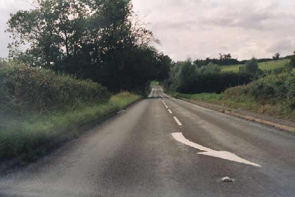
Image: © Simon Davies Taken: Unknown
A view of the only straight section of road between Much Hadham and Ware. Looking westwards.
Images are licensed for reuse under creativecommons.org/licenses/by-sa/2.0
Image Location


Leaflet Map data © OpenStreetMap
Latitude
51.822915
Longitude
0.030815