Poundbury Dorchester
Introduction
The photograph on this page of Poundbury Dorchester by Nigel Mykura as part of the Geograph project.
The Geograph project started in 2005 with the aim of publishing, organising and preserving representative images for every square kilometre of Great Britain, Ireland and the Isle of Man.

There are currently over 7.5m images from over 14,400 individuals and you can help contribute to the project by visiting https://www.geograph.org.uk
Poundbury Dorchester
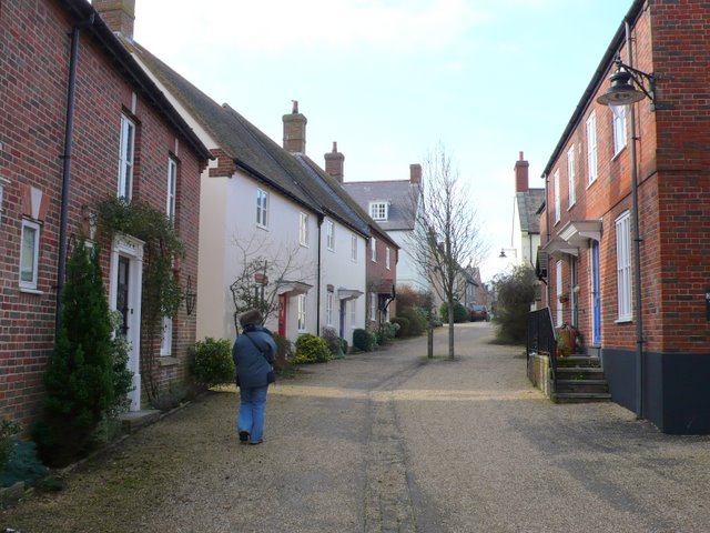
Image: © Nigel Mykura Taken: 1 Mar 2011
This small street between Longmoor St and Stokehouse St is typical of the small streets with limited access that attempt to give Poundbury a "village" feel.
Images are licensed for reuse under creativecommons.org/licenses/by-sa/2.0
Image Location
Latitude
50.71107
Longitude
-2.458546